
My favourite geocoder is free, fast and allows batch geocoding. What about yours?

Spatial data is pervasive: everything that happens, happens somewhere. However, the geographic component of data is not always ready to be used in a geographic information system. Sometimes, we must derive that geographic component from other information, such as addresses, administrative areas, or even business names.
Multiple paid services provide that translation to geographic coordinates. But I want to focus on a free online tool that allows you to get a reliable result in no time.
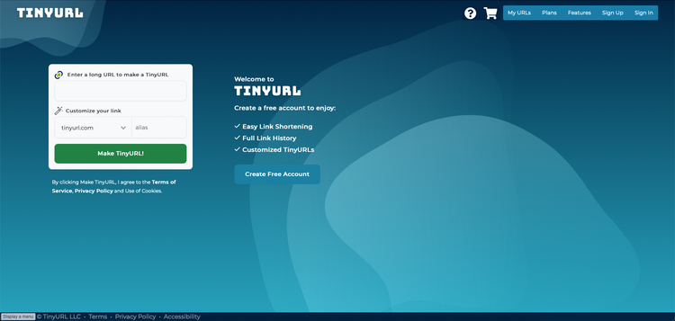
Batch geocoder for journalists from LocusFocus is my favourite geocoding tool: it is fast, allows batch geocoding, and does not require login. But unfortunately, you cannot import spreadsheets directly to the website nor export the results in that format. Hence, you'll be doing a bit of copying and pasting, but that shouldn't stop you from using this handy tool!

The Monthly with All That Geo
Want to learn how to use ArcGIS Online for spatial, data-driven storytelling? Sign up for The Monthly with All That Geo and I'll deliver a new example of an interactive web app straight to your inbox every month.
You'll get a behind-the-scenes look at how it was built—from the data collection process through the final app—so you can practice your own data visualisation skills and unlock your creativity as you go.
If you want to find inspiration to start a project that will make a difference in your study area or work, sign up for The Monthly with All That Geo!


Member discussion