Take advantage of ArcGIS Online for free
If you're a regular here at All That Geo, you might have noticed that most
tutorials [https://www.
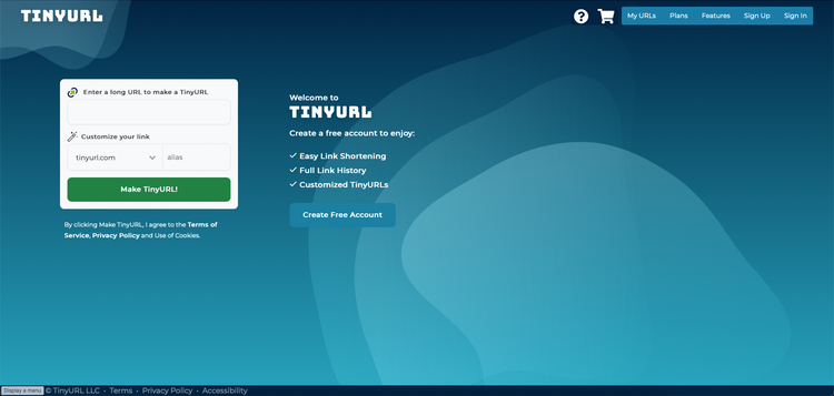
Improve your app's shareability with a shorter URL
So you've...
* followed the tutorials [https://www.allthatgeo.com/tag/tutorials/].
* created a fantastic app that you'
Free Map Tools on the go
Let me start by saying that Free Map Tools [https://www.freemaptools.com/] is
not targeted at established geospatial professionals,
The elephant in the (tech) room...
If you've been participating in tech events, and you identify yourself as a
woman or as someone from
Open data portals of the world
Joseph Kerski [https://twitter.com/josephkerski/] has recently shared
[https://spatialreserves.wordpress.com/2021/09/13/a-map-of-the-open-data-portals-of-the-world/]
an app by
CartONG and the humanitarian cartography
If GISCorps [https://www.allthatgeo.com/urisa-giscorps/] has already captured
your attention, CartONG will also interest you.
CartONG [https://www.
My favourite geocoder is free, fast and allows batch geocoding. What about yours?
Spatial data is pervasive: everything that happens, happens somewhere. However,
the geographic component of data is not always ready to