
Start creating a GIS portfolio today!

If you’re starting your journey in the GIS field, the best recommendation I can give you (and how I wish I had followed through with it myself back in the day!) is to create an online portfolio.
Juliana McMillan-Wilhoit from Tabulae Spatial Services recently blogged about this. Find her list of essential (free) tools to create a portfolio here.
What about you? Have you got a personal GIS portfolio? If so, let me know how you got about it!
Here's mine 👇
 Cristina
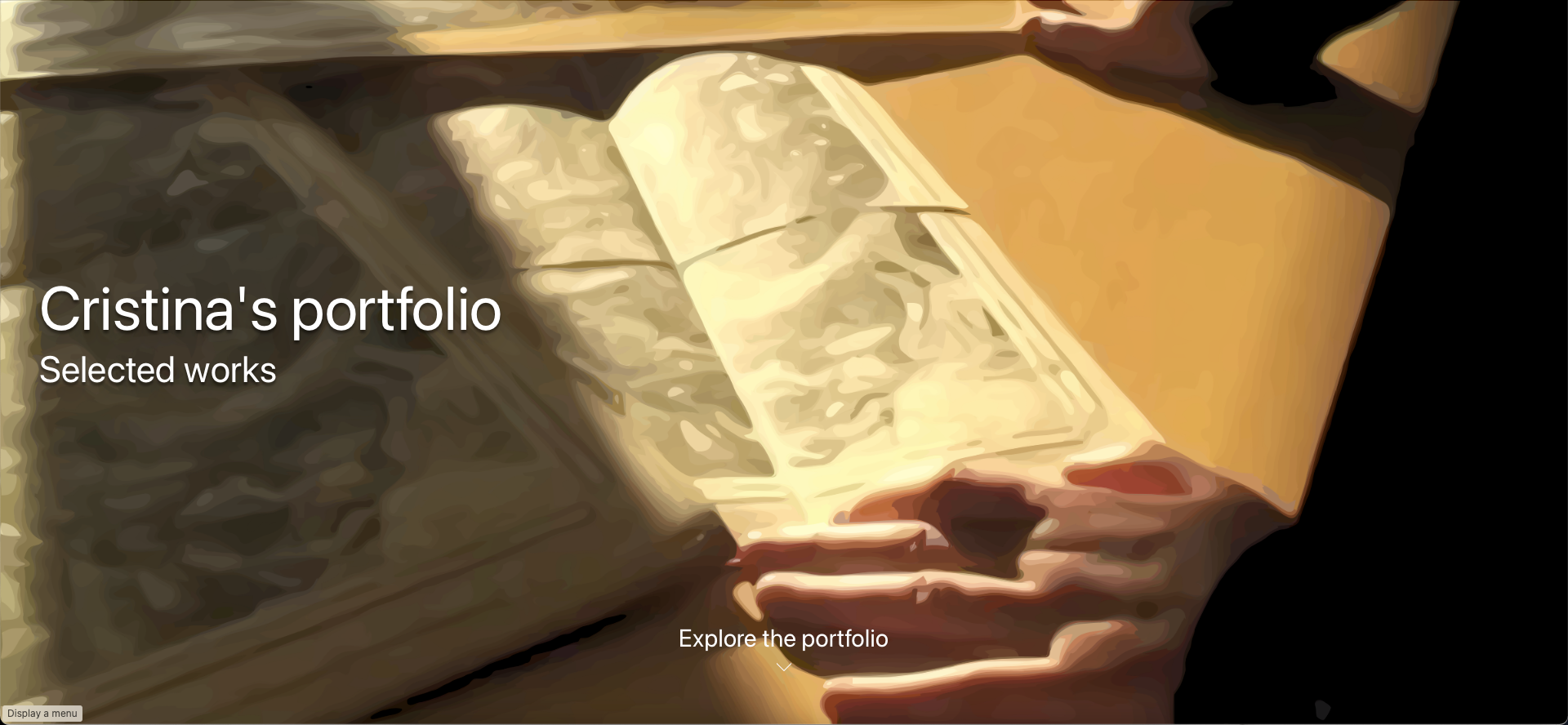

The Monthly with All That Geo
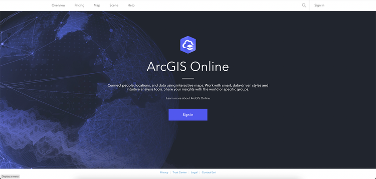
Want to learn how to use ArcGIS Online for spatial, data-driven storytelling? Sign up for The Monthly with All That Geo and I'll deliver a new example of an interactive web app straight to your inbox every month.
You'll get a behind-the-scenes look at how it was built—from the data collection process through the final app—so you can practice your own data visualisation skills and unlock your creativity as you go.
If you want to find inspiration to start a project that will make a difference in your study area or work, sign up for The Monthly with All That Geo!


Member discussion